
典补乡 topographic map
Interactive map
Click on the map to display elevation.
About this map
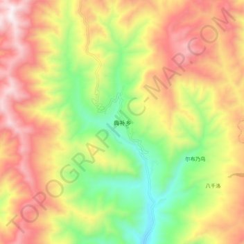
Name: 典补乡 topographic map, elevation, terrain.
Location: 典补乡, 美姑县, 凉山彝族自治州, 四川省, 616400, 中国 (28.32562 102.99284 28.40562 103.07284)
Average elevation: 2,202 m
Minimum elevation: 1,678 m
Maximum elevation: 2,729 m