
安顺场镇 topographic map
Interactive map
Click on the map to display elevation.
About this map
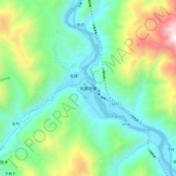
Name: 安顺场镇 topographic map, elevation, terrain.
Location: 安顺场镇, 石棉县, 雅安市, 四川省, 中国 (29.23506 102.24269 29.31506 102.32269)
Average elevation: 1,427 m
Minimum elevation: 866 m
Maximum elevation: 2,890 m
Other topographic maps
Click on a map to view its topography, its elevation and its terrain.