
Santoa topographic map
Interactive map
Click on the map to display elevation.
About this map
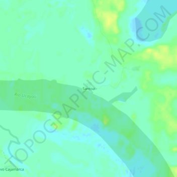
Name: Santoa topographic map, elevation, terrain.
Location: Santoa, Sarayacu, Province of Ucayali, Loreto, Peru (-6.24789 -75.15044 -6.20789 -75.11044)
Average elevation: 117 m
Minimum elevation: 111 m
Maximum elevation: 128 m