
乌尔其汉镇 topographic map
Interactive map
Click on the map to display elevation.
About this map
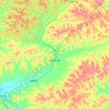
Name: 乌尔其汉镇 topographic map, elevation, terrain.
Location: 乌尔其汉镇, 牙克石市, 呼伦贝尔市, 内蒙古自治区, 中国 (49.24419 121.14643 49.97466 122.46503)
Average elevation: 870 m
Minimum elevation: 652 m
Maximum elevation: 1,403 m
Other topographic maps
Click on a map to view its topography, its elevation and its terrain.