
Thank you for supporting this site ❤️
Make a donation
Make a donation
Fred topographic map
Click on the map to display elevation.
Thank you for supporting this site ❤️
Make a donation
Make a donation
About this map
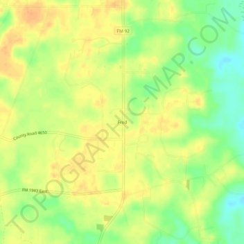
Name: Fred topographic map, elevation, terrain.
Location: Fred, Tyler County, Texas, 77616, United States (30.55659 -94.19630 30.59659 -94.15630)
Average elevation: 37 m
Minimum elevation: 16 m
Maximum elevation: 49 m
Thank you for supporting this site ❤️
Make a donation
Make a donation
Other topographic maps
Click on a map to view its topography, its elevation and its terrain.