
Thank you for supporting this site ❤️
Make a donation
Make a donation
Campus topographic map
Click on the map to display elevation.
Thank you for supporting this site ❤️
Make a donation
Make a donation
About this map
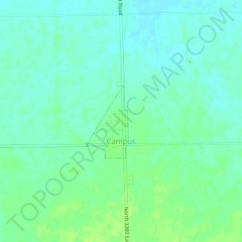
Name: Campus topographic map, elevation, terrain.
Location: Campus, Livingston County, Illinois, 60920, United States (41.02145 -88.31130 41.02965 -88.30504)
Average elevation: 200 m
Minimum elevation: 194 m
Maximum elevation: 206 m
Thank you for supporting this site ❤️
Make a donation
Make a donation
Other topographic maps
Click on a map to view its topography, its elevation and its terrain.