
Riyamah topographic map
Interactive map
Click on the map to display elevation.
About this map
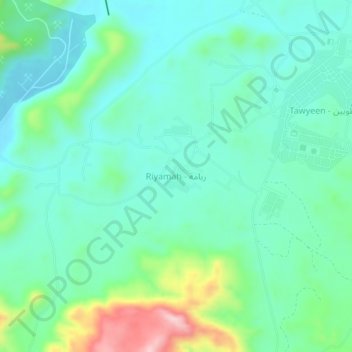
Name: Riyamah topographic map, elevation, terrain.
Location: Riyamah, Fujairah Emirate, United Arab Emirates (25.52604 56.03803 25.56604 56.07803)
Average elevation: 190 m
Minimum elevation: 123 m
Maximum elevation: 404 m
Other topographic maps
Click on a map to view its topography, its elevation and its terrain.