
Channing topographic map
Interactive map
Click on the map to display elevation.
About this map
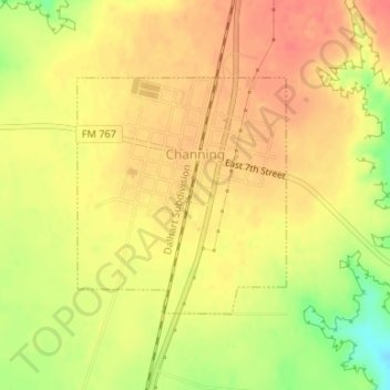
Name: Channing topographic map, elevation, terrain.
Location: Channing, Hartley County, Texas, United States (35.67314 -102.34181 35.68950 -102.32399)
Average elevation: 1,154 m
Minimum elevation: 1,115 m
Maximum elevation: 1,175 m