
哈加乡 topographic map
Interactive map
Click on the map to display elevation.
About this map
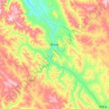
Name: 哈加乡 topographic map, elevation, terrain.
Location: 哈加乡, 贡觉县, 昌都市, 西藏自治区, 中国 (30.54119 98.25425 30.79880 98.55852)
Average elevation: 4,212 m
Minimum elevation: 3,641 m
Maximum elevation: 4,916 m
Other topographic maps
Click on a map to view its topography, its elevation and its terrain.