
吴城镇 topographic map
Interactive map
Click on the map to display elevation.
About this map
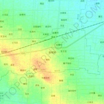
Name: 吴城镇 topographic map, elevation, terrain.
Location: 吴城镇, 舞阳县, 漯河市, 河南省, 中国 (33.40950 113.71400 33.48950 113.79400)
Average elevation: 78 m
Minimum elevation: 65 m
Maximum elevation: 97 m
Other topographic maps
Click on a map to view its topography, its elevation and its terrain.