
Tenextepango topographic map
Interactive map
Click on the map to display elevation.
About this map
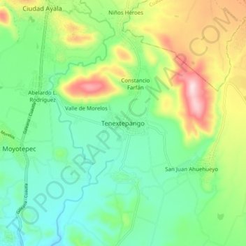
Name: Tenextepango topographic map, elevation, terrain.
Location: Tenextepango, Ayala, Morelos, 62725, México (18.68891 -98.99759 18.76891 -98.91759)
Average elevation: 1,196 m
Minimum elevation: 1,079 m
Maximum elevation: 1,436 m
Other topographic maps
Click on a map to view its topography, its elevation and its terrain.