
Houwaart topographic map
Interactive map
Click on the map to display elevation.
About this map
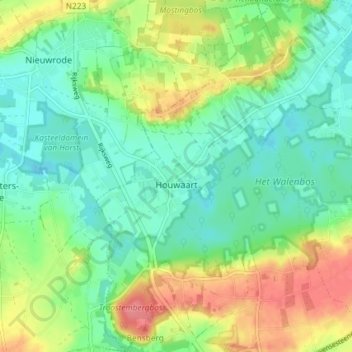
Name: Houwaart topographic map, elevation, terrain.
Location: Houwaart, Tielt-Winge, Louvain, Brabant flamand, Belgique (50.91112 4.84295 50.95722 4.89835)
Average elevation: 42 m
Minimum elevation: 17 m
Maximum elevation: 88 m