
Camp Del Miey topographic map
Interactive map
Click on the map to display elevation.
About this map
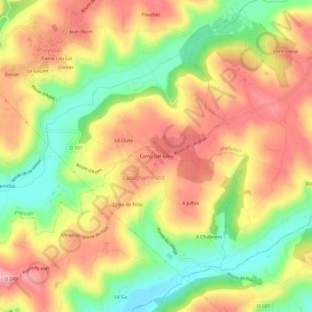
Name: Camp Del Miey topographic map, elevation, terrain.
Average elevation: 134 m
Minimum elevation: 58 m
Maximum elevation: 198 m
Other topographic maps
Click on a map to view its topography, its elevation and its terrain.
Croix de Félix
France > Nouvelle-Aquitaine > Lot-et-Garonne > Lusignan-Petit
Croix de Félix, Lusignan-Petit, Agen, Lot-et-Garonne, Nouvelle-Aquitaine, France métropolitaine, 47360, France
Average elevation: 130 m