
Le Calvaire topographic map
Interactive map
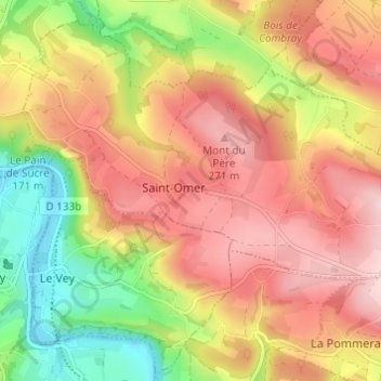
Click on the map to display elevation.
About this map
Name: Le Calvaire topographic map, elevation, terrain.
Average elevation: 174 m
Minimum elevation: 32 m
Maximum elevation: 287 m
Other topographic maps
Click on a map to view its topography, its elevation and its terrain.
Les Basses Planches
France > Normandie > Calvados > Saint-Omer
Les Basses Planches, Saint-Omer, Caen, Calvados, Normandie, France métropolitaine, 14220, France
Average elevation: 185 m
Le Mesnil
France > Normandie > Calvados > Saint-Omer
Le Mesnil, Saint-Omer, Caen, Calvados, Normandie, France métropolitaine, 14220, France
Average elevation: 144 m