
Estinnes topographic map
Interactive map
Click on the map to display elevation.
About this map
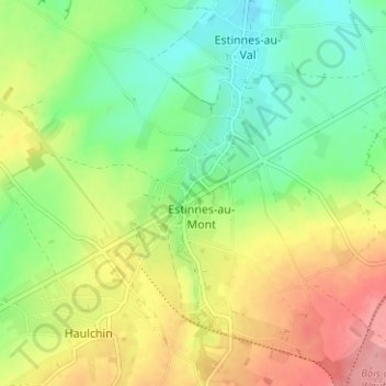
Name: Estinnes topographic map, elevation, terrain.
Location: Estinnes, La Louvière, Hainaut, Wallonie, 7120, Belgique (50.37767 4.07758 50.41767 4.11758)
Average elevation: 96 m
Minimum elevation: 55 m
Maximum elevation: 151 m