
Eastlake topographic map
Interactive map
Click on the map to display elevation.
About this map
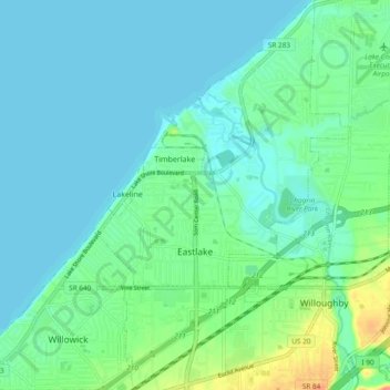
Name: Eastlake topographic map, elevation, terrain.
Location: Eastlake, Lake County, Ohio, 44095, États-Unis d'Amérique (41.62386 -81.46273 41.69458 -81.40031)
Average elevation: 187 m
Minimum elevation: 172 m
Maximum elevation: 242 m