
Thank you for supporting this site ❤️
Make a donation
Make a donation
Longtown topographic map
Click on the map to display elevation.
Thank you for supporting this site ❤️
Make a donation
Make a donation
About this map
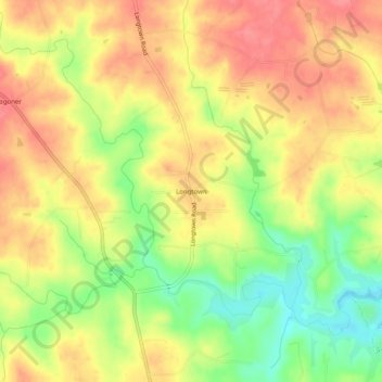
Name: Longtown topographic map, elevation, terrain.
Location: Longtown, Yadkin County, North Carolina, United States (36.12764 -80.79035 36.16764 -80.75035)
Average elevation: 306 m
Minimum elevation: 264 m
Maximum elevation: 336 m
Thank you for supporting this site ❤️
Make a donation
Make a donation
Other topographic maps
Click on a map to view its topography, its elevation and its terrain.