
Magnolia Bend topographic map
Interactive map
Click on the map to display elevation.
About this map
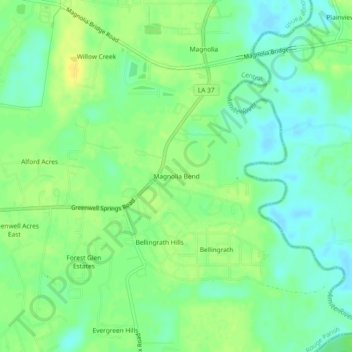
Name: Magnolia Bend topographic map, elevation, terrain.
Average elevation: 16 m
Minimum elevation: 5 m
Maximum elevation: 28 m
Other topographic maps
Click on a map to view its topography, its elevation and its terrain.
Ski Stone
United States > Louisiana > East Baton Rouge Parish > Central
Ski Stone, Central, East Baton Rouge Parish, Louisiana, 70714, United States
Average elevation: 22 m
Brandon Place
United States > Louisiana > East Baton Rouge Parish > Central
Brandon Place, Central, East Baton Rouge Parish, Louisiana, 70739, United States
Average elevation: 17 m