
Thank you for supporting this site ❤️
Make a donation
Make a donation
Entrevinhas topographic map
Click on the map to display elevation.
Thank you for supporting this site ❤️
Make a donation
Make a donation
About this map
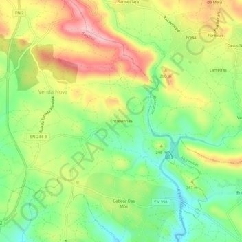
Name: Entrevinhas topographic map, elevation, terrain.
Location: Entrevinhas, Sardoal, Santarém, 2230-008, Portugal (39.52322 -8.14688 39.56322 -8.10688)
Average elevation: 223 m
Minimum elevation: 140 m
Maximum elevation: 325 m
Thank you for supporting this site ❤️
Make a donation
Make a donation
Other topographic maps
Click on a map to view its topography, its elevation and its terrain.