
Freisen topographic map
Interactive map
Click on the map to display elevation.
About this map
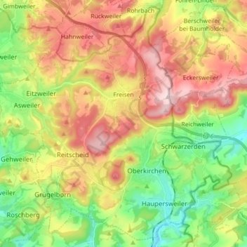
Name: Freisen topographic map, elevation, terrain.
Location: Freisen, Landkreis St. Wendel, Saarland, 66629, Germany (49.49926 7.16972 49.58487 7.30920)
Average elevation: 445 m
Minimum elevation: 310 m
Maximum elevation: 605 m