
Thank you for supporting this site ❤️
Make a donation
Make a donation
Tapare Nord topographic map
Click on the map to display elevation.
Thank you for supporting this site ❤️
Make a donation
Make a donation
About this map
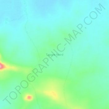
Name: Tapare Nord topographic map, elevation, terrain.
Location: Tapare Nord, Poli, Faro, Région du Nord, Cameroun (8.63984 12.83781 8.67984 12.87781)
Average elevation: 249 m
Minimum elevation: 219 m
Maximum elevation: 354 m
Thank you for supporting this site ❤️
Make a donation
Make a donation