
望京镇 topographic map
Interactive map
Click on the map to display elevation.
About this map
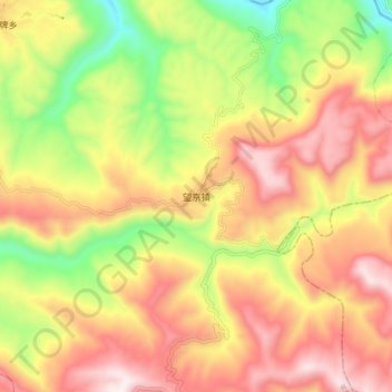
Name: 望京镇 topographic map, elevation, terrain.
Location: 望京镇, 平昌县, 巴中市, 四川省, 中国 (31.69604 107.42199 31.77604 107.50199)
Average elevation: 763 m
Minimum elevation: 354 m
Maximum elevation: 1,119 m
Other topographic maps
Click on a map to view its topography, its elevation and its terrain.