
Thank you for supporting this site ❤️
Make a donation
Make a donation
Aiyar topographic map
Click on the map to display elevation.
Thank you for supporting this site ❤️
Make a donation
Make a donation
About this map
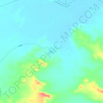
Name: Aiyar topographic map, elevation, terrain.
Location: Aiyar, Nakhatrana Taluka, Kachchh, Gujarat, 370605, India (23.55641 69.18754 23.59641 69.22754)
Average elevation: 16 m
Minimum elevation: 3 m
Maximum elevation: 66 m
Thank you for supporting this site ❤️
Make a donation
Make a donation