
Thank you for supporting this site ❤️
Make a donation
Make a donation
Tilghman Island topographic map
Click on the map to display elevation.
Thank you for supporting this site ❤️
Make a donation
Make a donation
About this map
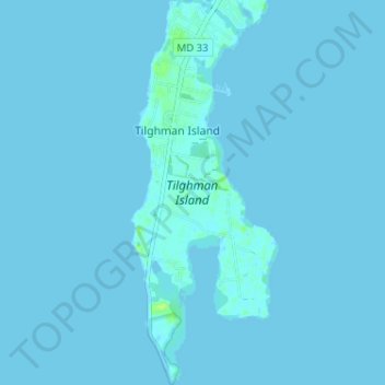
Name: Tilghman Island topographic map, elevation, terrain.
Location: Tilghman Island, Talbot County, Maryland, United States (38.67059 -76.34654 38.72070 -76.32187)
Average elevation: 0 m
Minimum elevation: -1 m
Maximum elevation: 11 m
Thank you for supporting this site ❤️
Make a donation
Make a donation