
Garrison topographic map
Interactive map
Click on the map to display elevation.
About this map
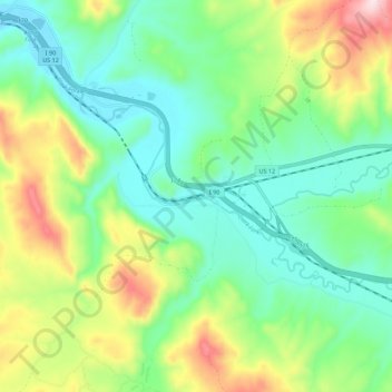
Name: Garrison topographic map, elevation, terrain.
Location: Garrison, Powell County, Montana, 59731, United States (46.48338 -112.87724 46.55988 -112.76656)
Average elevation: 1,422 m
Minimum elevation: 1,295 m
Maximum elevation: 1,696 m