
麦秀镇 topographic map
Interactive map
Click on the map to display elevation.
About this map
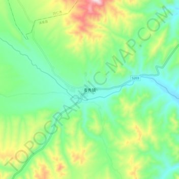
Name: 麦秀镇 topographic map, elevation, terrain.
Location: 麦秀镇, 泽库县, 黄南藏族自治州, 青海省, 中国 (35.16048 101.74525 35.24048 101.82525)
Average elevation: 3,596 m
Minimum elevation: 3,404 m
Maximum elevation: 4,014 m
Other topographic maps
Click on a map to view its topography, its elevation and its terrain.