
Thank you for supporting this site ❤️
Make a donation
Make a donation
Muzinda topographic map
Click on the map to display elevation.
Thank you for supporting this site ❤️
Make a donation
Make a donation
About this map
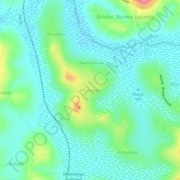
Name: Muzinda topographic map, elevation, terrain.
Location: Muzinda, Wakiso, Central Region, Uganda (0.28164 32.41083 0.32164 32.45083)
Average elevation: 1,163 m
Minimum elevation: 1,140 m
Maximum elevation: 1,236 m
Thank you for supporting this site ❤️
Make a donation
Make a donation