
Kgope topographic map
Click on the map to display elevation.
About this map
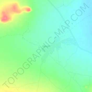
Name: Kgope topographic map, elevation, terrain.
Location: Kgope, Kweneng District, Botswana (-24.32768 25.89168 -24.28768 25.93168)
Average elevation: 1,044 m
Minimum elevation: 1,022 m
Maximum elevation: 1,091 m