
Thank you for supporting this site ❤️
Make a donation
Make a donation
Gresham topographic map
Click on the map to display elevation.
Thank you for supporting this site ❤️
Make a donation
Make a donation
About this map
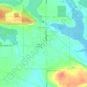
Name: Gresham topographic map, elevation, terrain.
Location: Gresham, Shawano County, Wisconsin, United States (44.83969 -88.79726 44.85630 -88.75990)
Average elevation: 287 m
Minimum elevation: 270 m
Maximum elevation: 325 m
Thank you for supporting this site ❤️
Make a donation
Make a donation
Other topographic maps
Click on a map to view its topography, its elevation and its terrain.