
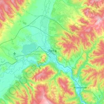
赤塔 topographic map
Interactive map
Click on the map to display elevation.
About this map
Name: 赤塔 topographic map, elevation, terrain.
Location: 赤塔, городской округ Чита, 外贝加尔边疆区, 远东联邦管区, 672000, 俄罗斯 (51.88496 113.13361 52.17276 113.66213)
Average elevation: 804 m
Minimum elevation: 627 m
Maximum elevation: 1,228 m