
Thiendorf topographic map
Interactive map
Click on the map to display elevation.
About this map
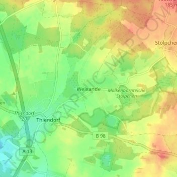
Name: Thiendorf topographic map, elevation, terrain.
Location: Thiendorf, Welxande, Meißen, Sachsen, Deutschland (51.28022 13.73658 51.32022 13.77658)
Average elevation: 160 m
Minimum elevation: 134 m
Maximum elevation: 187 m