
下仓镇 topographic map
Interactive map
Click on the map to display elevation.
About this map
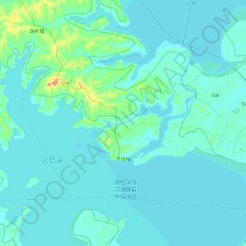
Name: 下仓镇 topographic map, elevation, terrain.
Location: 下仓镇, 宿松县, 安庆市, 安徽省, 中国 (29.99517 116.31384 30.13103 116.53767)
Average elevation: 13 m
Minimum elevation: 7 m
Maximum elevation: 59 m
Other topographic maps
Click on a map to view its topography, its elevation and its terrain.