
Thank you for supporting this site ❤️
Make a donation
Make a donation
Ernesta topographic map
Click on the map to display elevation.
Thank you for supporting this site ❤️
Make a donation
Make a donation
About this map
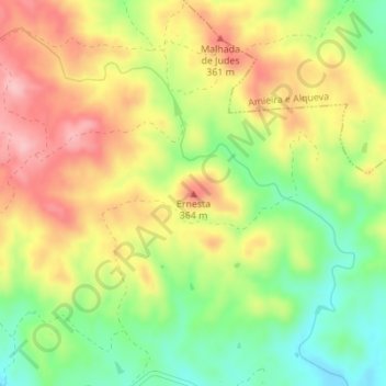
Name: Ernesta topographic map, elevation, terrain.
Location: Ernesta, Portel, Évora, 7220-422, Portugal (38.31769 -7.64842 38.31779 -7.64832)
Average elevation: 303 m
Minimum elevation: 227 m
Maximum elevation: 377 m
Thank you for supporting this site ❤️
Make a donation
Make a donation