
Thank you for supporting this site ❤️
Make a donation
Make a donation
Carney topographic map
Click on the map to display elevation.
Thank you for supporting this site ❤️
Make a donation
Make a donation
About this map
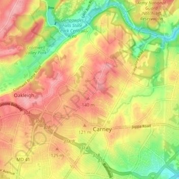
Name: Carney topographic map, elevation, terrain.
Location: Carney, Oakleigh, Baltimore County, Maryland, United States (39.38046 -76.56840 39.43171 -76.49907)
Average elevation: 103 m
Minimum elevation: 38 m
Maximum elevation: 154 m
Thank you for supporting this site ❤️
Make a donation
Make a donation