
Township of Wayne McCoog Park topographic map
Interactive map
Click on the map to display elevation.
About this map
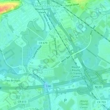
Name: Township of Wayne McCoog Park topographic map, elevation, terrain.
Average elevation: 55 m
Minimum elevation: 45 m
Maximum elevation: 91 m