
Bishopville topographic map
Interactive map
Click on the map to display elevation.
About this map
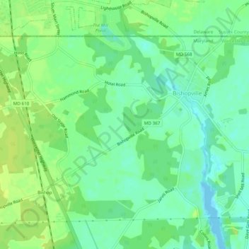
Name: Bishopville topographic map, elevation, terrain.
Location: Bishopville, Worcester County, Maryland, United States (38.42450 -75.23271 38.45123 -75.18471)
Average elevation: 9 m
Minimum elevation: -3 m
Maximum elevation: 16 m