
Thank you for supporting this site ❤️
Make a donation
Make a donation
Pleasant Grove topographic map
Click on the map to display elevation.
Thank you for supporting this site ❤️
Make a donation
Make a donation
About this map
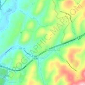
Name: Pleasant Grove topographic map, elevation, terrain.
Location: Pleasant Grove, Allegany County, Maryland, United States (39.66943 -78.71441 39.69230 -78.66892)
Average elevation: 300 m
Minimum elevation: 205 m
Maximum elevation: 466 m
Thank you for supporting this site ❤️
Make a donation
Make a donation