
Eulma topographic map
Interactive map
Click on the map to display elevation.
About this map
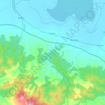
Name: Eulma topographic map, elevation, terrain.
Location: Eulma, Daïra Aïn Berda, Annaba, Algérie (36.62771 7.33379 36.79225 7.53950)
Average elevation: 132 m
Minimum elevation: 7 m
Maximum elevation: 770 m