
Thank you for supporting this site ❤️
Make a donation
Make a donation
Punta Carradore topographic map
Click on the map to display elevation.
Thank you for supporting this site ❤️
Make a donation
Make a donation
About this map
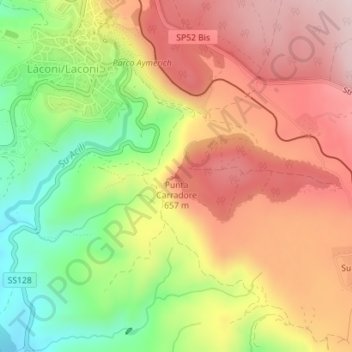
Name: Punta Carradore topographic map, elevation, terrain.
Location: Punta Carradore, Laconi, Oristano, Sardegna, 08034, Italia (39.84436 9.06175 39.84446 9.06185)
Average elevation: 559 m
Minimum elevation: 369 m
Maximum elevation: 721 m
Thank you for supporting this site ❤️
Make a donation
Make a donation