
Thank you for supporting this site ❤️
Make a donation
Make a donation
Cheyenne Bottoms topographic map
Click on the map to display elevation.
Thank you for supporting this site ❤️
Make a donation
Make a donation
About this map
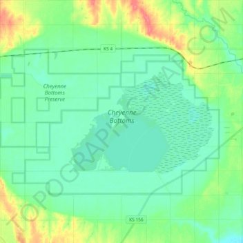
Name: Cheyenne Bottoms topographic map, elevation, terrain.
Location: Cheyenne Bottoms, Barton County, Kansas, United States (38.43539 -98.77465 38.52160 -98.58997)
Average elevation: 555 m
Minimum elevation: 540 m
Maximum elevation: 596 m
Thank you for supporting this site ❤️
Make a donation
Make a donation
Other topographic maps
Click on a map to view its topography, its elevation and its terrain.