
Chato Chico topographic map
Interactive map
Click on the map to display elevation.
About this map
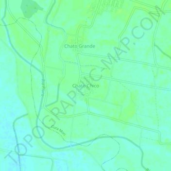
Name: Chato Chico topographic map, elevation, terrain.
Location: Chato Chico, Cura Mori, Piura, Perú (-5.38597 -80.68652 -5.34597 -80.64652)
Average elevation: 19 m
Minimum elevation: 14 m
Maximum elevation: 23 m
Other topographic maps
Click on a map to view its topography, its elevation and its terrain.