
Thank you for supporting this site ❤️
Make a donation
Make a donation
Montebolzone topographic map
Click on the map to display elevation.
Thank you for supporting this site ❤️
Make a donation
Make a donation
About this map
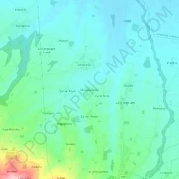
Name: Montebolzone topographic map, elevation, terrain.
Location: Montebolzone, Agazzano, Piacenza, Emilia-Romagna, Italia (44.94887 9.49090 44.98887 9.53090)
Average elevation: 144 m
Minimum elevation: 95 m
Maximum elevation: 343 m
Thank you for supporting this site ❤️
Make a donation
Make a donation