
Domaine de Mont Caprice topographic map
Interactive map
Click on the map to display elevation.
About this map
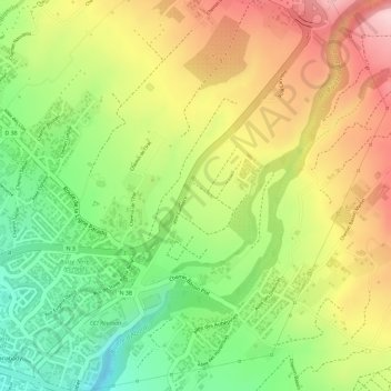
Name: Domaine de Mont Caprice topographic map, elevation, terrain.
Average elevation: 177 m
Minimum elevation: 50 m
Maximum elevation: 301 m
Other topographic maps
Click on a map to view its topography, its elevation and its terrain.
Rivière d'Abord
France > La Réunion > Ligne des Bambous
Rivière d'Abord, Ligne des Bambous, Saint-Pierre, La Réunion, 97430, France
Average elevation: 424 m