
Hameau des Andrés topographic map
Interactive map
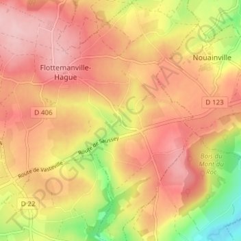
Click on the map to display elevation.
About this map
Name: Hameau des Andrés topographic map, elevation, terrain.
Average elevation: 121 m
Minimum elevation: 23 m
Maximum elevation: 179 m
Other topographic maps
Click on a map to view its topography, its elevation and its terrain.
Hameau au Court
France > Normandie > Manche > La Hague > Flottemanville-Hague
Hameau au Court, Flottemanville-Hague, La Hague, Cherbourg, Manche, Normandie, France métropolitaine, 50690, France
Average elevation: 128 m