
Ahfara topographic map
Interactive map
Click on the map to display elevation.
About this map
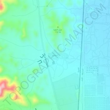
Name: Ahfara topographic map, elevation, terrain.
Location: Ahfara, Fujairah Emirate, United Arab Emirates (25.02169 56.29153 25.06169 56.33153)
Average elevation: 50 m
Minimum elevation: 1 m
Maximum elevation: 306 m