
Cielo Verde topographic map
Interactive map
Click on the map to display elevation.
About this map
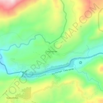
Name: Cielo Verde topographic map, elevation, terrain.
Location: Cielo Verde, García Moreno, Cotacachi, Imbabura, Équateur (0.20341 -78.92172 0.24341 -78.88172)
Average elevation: 624 m
Minimum elevation: 451 m
Maximum elevation: 906 m