
Parroquia Cariamanga topographic map
Interactive map
Click on the map to display elevation.
About this map
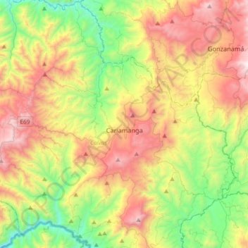
Name: Parroquia Cariamanga topographic map, elevation, terrain.
Location: Parroquia Cariamanga, Cantón Calvas, Loja, Ecuador (-4.46406 -79.66667 -4.17327 -79.46084)
Average elevation: 1,640 m
Minimum elevation: 785 m
Maximum elevation: 2,822 m