
Fulde topographic map
Interactive map
Click on the map to display elevation.
About this map
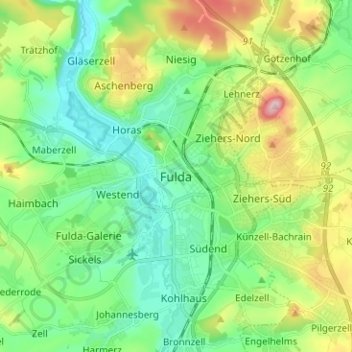
Name: Fulde topographic map, elevation, terrain.
Location: Fulde, Künzell, Landkreis Fulda, Hesse, 36037, Allemagne (50.51423 9.63704 50.59423 9.71704)
Average elevation: 306 m
Minimum elevation: 236 m
Maximum elevation: 465 m