
Pinra topographic map
Interactive map
Click on the map to display elevation.
About this map
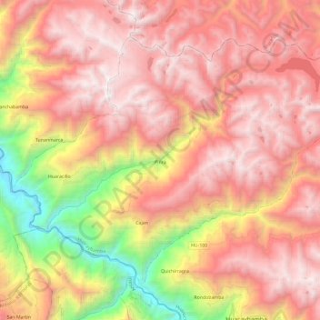
Name: Pinra topographic map, elevation, terrain.
Location: Pinra, Provincia de Huacaybamba, Huánuco, Perú (-9.01248 -77.12371 -8.83444 -76.89029)
Average elevation: 3,551 m
Minimum elevation: 1,948 m
Maximum elevation: 4,598 m