
Thank you for supporting this site ❤️
Make a donation
Make a donation
l'Albagés topographic map
Click on the map to display elevation.
Thank you for supporting this site ❤️
Make a donation
Make a donation
About this map
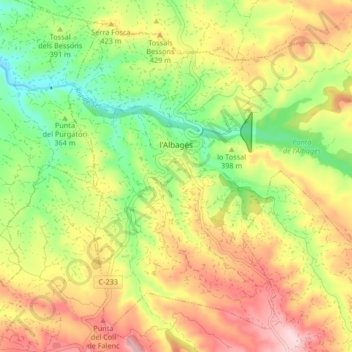
Name: l'Albagés topographic map, elevation, terrain.
Location: l'Albagés, Garrigas, Lérida, Cataluña, 25155, España (41.41651 0.71527 41.47032 0.79801)
Average elevation: 393 m
Minimum elevation: 268 m
Maximum elevation: 531 m
Thank you for supporting this site ❤️
Make a donation
Make a donation